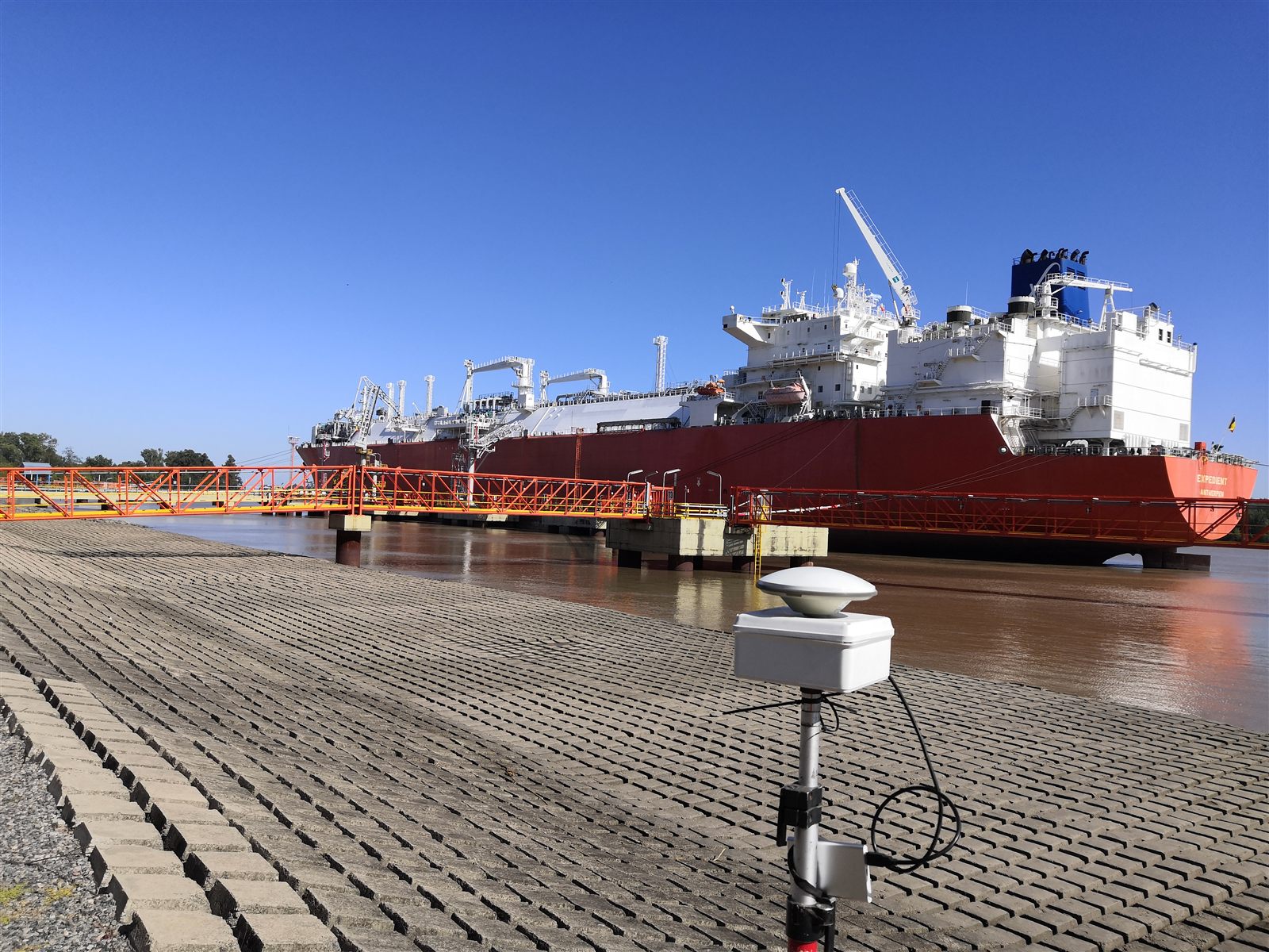
GNSS positioning
Geodetic control and precision positioning applied to port infrastructure.

We provide onshore support for works, infrastructure and industrial operations, combining surveys, supervision and technical support at every project stage.
This main page organizes the UNISHORE onshore offering and opens technical subsections to present activities, works, equipment and developments.
Geodetic control and precision positioning applied to port infrastructure.
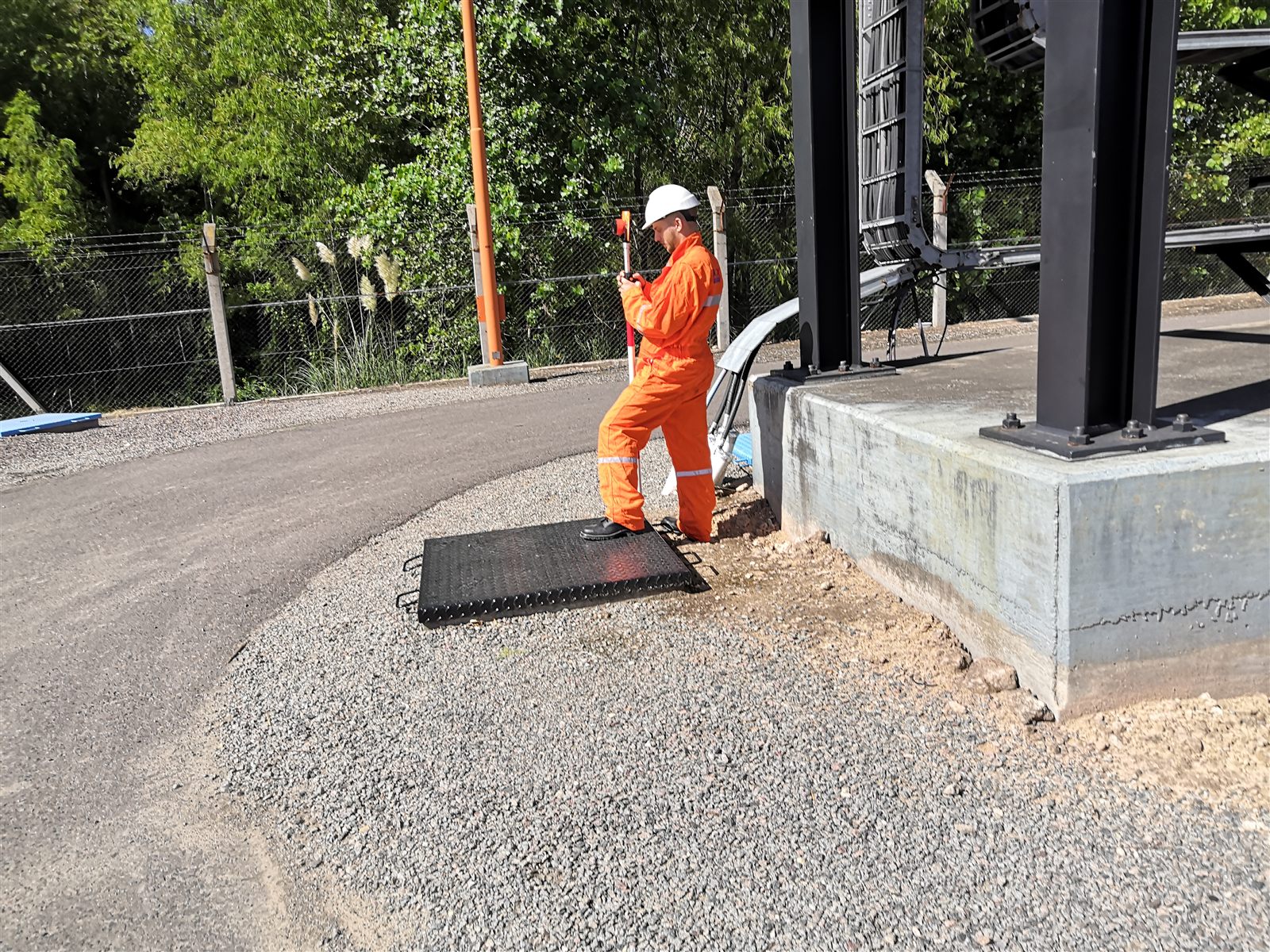
Technical personnel performing field measurements and construction control.
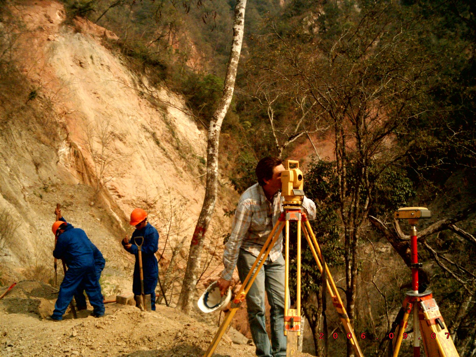
Topographic survey for alignments, earthworks and road construction.
Contact UNISHORE to define the technical scope, resources and required deliverables.