Surveys
Hydrographic surveys for navigation, engineering and design.
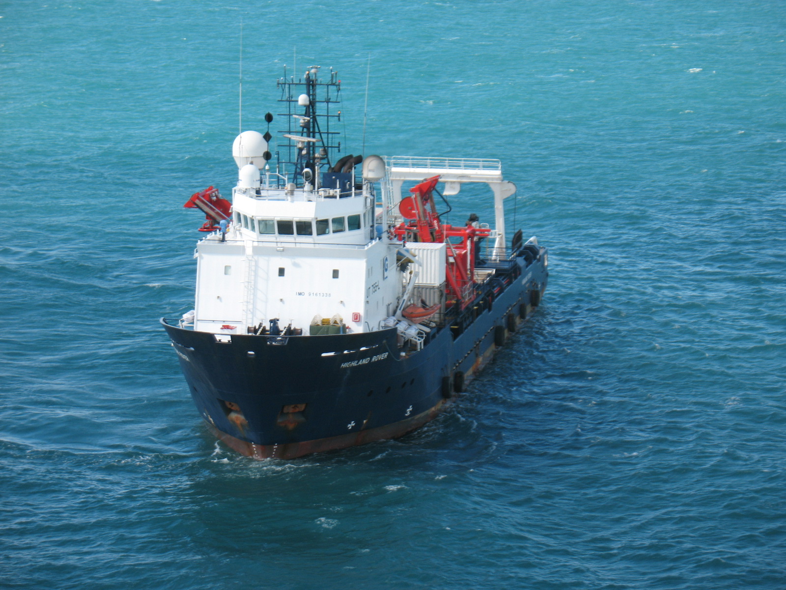
UNISHORE performs hydrographic surveys to IHO standards to gather seabed data required for navigation, engineering and design purposes. State-of-the-art technology is applied throughout data acquisition to produce reliable, accurate and traceable results.
Surveys
The acquired data supports site characterisation, seafloor charting and the identification of conditions and objects relevant to the planning, construction and operation of marine infrastructure.
- Site characterisation and seafloor charting
- Location of man-made and natural objects, including debris, shipwrecks, UXO, subsea structures and coral reefs
- Pre- and post-engineering surveys
- Pipeline and subsea cable route surveys
- Pre-lay, post-lay and as-laid surveys for pipelines, power cables and fibre-optic cables
- Inspection of pipelines, cables, piles and subsea structures
- Dredging support, port and harbour developments, and coastal infrastructure
- Bathymetric control of dredging and marine foundations
- Surveys for port works
Technical enquiry
Request informationTalk to us about your surveys requirements.
Our team can review the scope, operating conditions, equipment and deliverables required for the offshore campaign.